790 ha
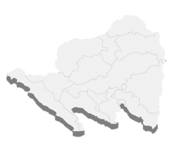
East Lampung
East-coast mangrove green belt
Wider green-belt context of about 3,202 ha
Projects
Two documented areas provide an entry point for technical due diligence. Initial hectare figures are measurement areas, not the full secured green belt.
790 ha
East-coast mangrove green belt
Wider green-belt context of about 3,202 ha
525 ha
East-coast mangrove green belt
Wider green-belt context of about 8,079 ha
Shared project logic
Geospatial acquisition, field biomass measurement, carbon quantification, NEK assessment, and MRV-ready evidence. Registration and certification remain separate regulatory outcomes.
Review the mitigation register, measurement cycle, or contact the ARMIGGE team to discuss the workstreams.